
Illikkal Kallu (Kottayam)
About Illikkal Kallu (Kottayam)
Illikkal Kallu: The Split Monolith of the Western Ghats That Has Gone Viral for Good Reason
There's a rock in the Western Ghats of Kottayam district that looks like the sky itself broke off a piece and left it standing. Illikkal Kallu — a massive monolith atop the Illikkal Mala ridge at roughly 4,000 feet above sea level — is famous for one defining geological feature: half the boulder has split away and fallen, leaving a sheer vertical cliff face that drops into the green valley below. The remaining half stands firm, and from its edge you can see the Arabian Sea as a thin blue line on the distant horizon, the winding roads through rubber plantation valleys far below, and on clear mornings, an unbroken 360-degree panorama across central Kerala. It has become one of the most photographed trekking destinations in the state, particularly after going viral on social media for its dramatic cliff views and the notoriously narrow Narakapalam — >the Bridge to Hell — connecting the three hills.
This guide covers what the rock formation actually is, how to trek it, what the three hills and two bridges involve, current entry fees and transport logistics, safety realities, the best time and time of day to visit, how to get there, and a complete FAQ addressing every practical question first-time visitors ask.
Quick Facts Before You Go
- Location: Moonnilavu and Thalanadu villages, Meenachil taluk, Kottayam district, Kerala — on the Illikkal Mala ridge in the Western Ghats
- Altitude: Around 4,000 feet above sea level at the main monolith; the broader Illikkal Mala range is cited by some sources at up to 6,000 feet
- Distance from Kottayam: About 56–57 km, roughly 2–2.5 hours by road
- Distance from Vagamon: About 30 km
- Distance from Teekoy town: About 6 km — the nearest town and the point from which jeeps are available
- Entry fee: ₹30 for adults, ₹15 for children (confirm current rates locally as fees are revised periodically); DTPC jeep service from the checkpoint to the summit costs around ₹39 per person
- Timings: 8:30 AM to 5:30 PM; DTPC checkpoint is set up 1 km before the summit and private vehicles are not allowed beyond this point
- Trek from checkpoint to summit: About 1 km on foot
- Best time of day: 8:00 AM to 10:30 AM for the best 360-degree views before mist rolls in
- Best season: September to January (post-monsoon)
What Illikkal Kallu Actually Is: The Geology
Illikkal Kallu isn't a single rock — it's a cluster of three distinct hills, each named for its distinctive shape, sitting atop the Illikkal Mala ridge. The most dramatic geological feature is the main monolith itself: a colossal boulder from which half the rock has split away and fallen, likely due to a combination of erosion and ancient seismic activity, leaving the standing half as a sheer-faced cliff that drops straight into the valley. What makes this visually arresting is the geometry of it — the cut face is almost startlingly vertical, and the remaining rock stands like a natural observation deck with nothing between you and the view but air and a safety railing.
The three hills each have their own character and their own local name:
Kuda Kallu (Umbrella Rock)
The first hill, shaped like a mushroom or umbrella — the cap of the rock overhangs its narrower base. This is where the rare medicinal herb Neela Koduveli (blue-flowered Plectranthus malabaricus) is said to grow, a plant with a long tradition of use in Kerala's folk medicine tradition and the subject of considerable local reverence for its believed properties.
Koonu Kallu (Hunchback Rock)
The second hill, named for the hunch-like protrusion on its side. Koonu Kallu and Kuda Kallu together frame the main viewpoint area and are the two hills most visitors walk between.
Narakapalam — The Bridge to Hell
Between the hills lies Narakapalam, commonly translated as the Bridge to Hell — a narrow natural rock bridge, reportedly only about half a foot wide in its narrowest section, connecting two of the hills above a sheer drop. It is steep, genuinely slippery when wet, and offers simultaneously the most terrifying and most memorable view from the entire site. The government has now restricted access to the most dangerous sections for safety reasons, with railings and fencing in place at the designated viewpoints. Visitors should follow current on-site instructions from DTPC staff about which sections of the bridge are accessible.
Swargavathil — Entrance to Heaven
The second bridge connecting the hills, known as Swargavathil — Entrance to Heaven — offering a contrast in character from Narakapalam, with a wider pathway and views that open across the valley rather than directly into the gorge below.
What You Can See from the Summit
The views from Illikkal Kallu are the entire reason most people make the trip, and on a clear morning they're exceptional. From the main viewpoint:
- The Arabian Sea visible as a thin blue stroke on the western horizon — one of the few inland Kerala viewpoints where the sea is visible at all
- Vembanad Lake, Kerala's longest lake, visible as a silver reflection to the west on clear days
- Winding roads cutting through dense rubber plantation valleys far below
- The convergence of mountain streams that form the Meenachil River, visible in the valley
- A 360-degree panorama across the Western Ghats, the Kottayam midlands, and the coastal lowlands
- Clouds and mist at eye level on misty mornings — a particularly striking visual when the valleys below are still hidden under cloud while the peaks are clear
How to Get There
From Kottayam
The most common base for visiting Illikkal Kallu is Kottayam city, about 56–57 km away. The route goes via Ettumanoor and Poonjar, passing through the rubber plantation hills of central Kerala. The road is scenic but narrow and winding in the final sections — comfortable in a 4WD or jeep, but requires careful driving in a standard car. The road condition in the final approach toward the DTPC checkpoint has been reported as poor by multiple recent visitors, so low-clearance vehicles should proceed cautiously.
From Vagamon
About 30 km from Vagamon hill station, making it a natural pairing for anyone already visiting the Vagamon area — the two destinations share a similar landscape character and are easily combined in a single day.
By Public Transport
Buses run from Erattupetta to Mankombu, from where the hilltop is a 3 km trek. Alternatively, take a bus or taxi to Teekoy town (6 km from the summit), and from there hire a jeep or walk the remaining distance. The DTPC checkpoint is set up 1 km before the summit, and beyond that point private vehicles are not permitted — visitors either walk the final kilometer or take the DTPC jeep service.
DTPC Jeep Service
The Kottayam District Tourism Promotion Council (DTPC) operates jeep rides from their checkpoint 1 km before the summit, at approximately ₹39 per person for both the uphill and downhill rides. Private vehicles are not permitted beyond the checkpoint. You can walk the final kilometer instead if you prefer, but the jeep service is a convenient option, particularly for the downhill return when legs are tired.
From the United States
Cochin International Airport (COK) is the most practical international gateway — about 120–130 km from Illikkal Kallu via Kottayam, generally a 3–3.5 hour drive. Most US travelers will route through a major Indian or Gulf hub before connecting to COK. From the airport, a rented car with driver or taxi to Kottayam, with Illikkal Kallu as a day trip from there, is the most comfortable approach.
Entry, Timings, and Fees
- Timings: 8:30 AM to 5:30 PM daily
- Entry fee: ₹30 for adults, ₹15 for children — fees are revised periodically, so confirm current rates at the DTPC checkpoint on arrival. UPI payments are not available at the summit (no mobile network); carry cash.
- DTPC jeep (optional): Approximately ₹39 per person for the uphill and downhill ride from the checkpoint to the summit
- Photography: Generally permitted; a separate camera fee may apply — confirm at the checkpoint
- No mobile network is available at the summit — UPI payments are not possible, so cash is essential for tickets, jeep, and any snack stalls
Safety
Illikkal Kallu is genuinely dramatic terrain, and the safety concerns here are real rather than overstated:
- Do not trek during monsoon. The paths are slippery, the mist reduces visibility to near zero in places, and the exposed rock faces become genuinely dangerous in wet conditions. Most experienced trekkers and local guides strongly recommend avoiding the site from June through August.
- The Narakapalam bridge is not a tourist gimmick. It's genuinely narrow, genuinely exposed, and genuinely dangerous — follow current DTPC restrictions on which sections are accessible, since these may be tightened in response to incidents. If access is restricted to railinged viewpoints, those viewpoints are still extraordinary and the restriction exists for a real reason.
- Complete the trek in the first half of the day. Mist rolls in unpredictably, often by late morning, reducing visibility dramatically. The best and safest window for the full summit experience is 8:00 AM to 10:30 AM.
- Weather changes fast. Clear sunshine can shift to dense fog within minutes at this altitude. Dress in layers and don't assume the weather you started in will hold for the descent.
- The access road is rough. The final section of road approaching the DTPC checkpoint is in poor condition — drive slowly and carefully, especially in a low-clearance vehicle.
- No mobile network at the summit. Let someone know your plans before you go, since you won't be able to call for help from the top if needed.
Best Time to Visit
- Best season overall: September to January, the post-monsoon period when the landscape is lush and green from the recent rains, the trails are dry enough to be safe, and visibility is at its clearest
- Best months specifically: October, November, and December balance the best visibility with the most pleasant temperatures — still green from the monsoon, but clear and cool
- Best time of day: 8:00 AM to 10:30 AM, before mist rolls in across the peaks
- Sunset visits: Watching the sunset and moonrise simultaneously from the peak on a full moon evening — when the moon rises like a second sun as the orange sun descends on the opposite horizon — is cited repeatedly by visitors as the most spectacular experience the site offers, but requires staying past the standard closing time and careful planning
- Avoid monsoon (June–August): Extremely slippery trails, near-zero visibility in mist, and genuine safety risk on the exposed sections
- Avoid midday (after 11 AM): Mist and reduced visibility make the views significantly less impressive and increase disorientation risk on the narrow sections
What to Pack
- Cash — no UPI or card payments are possible at the summit due to no mobile network coverage
- Non-slip trekking shoes or trail footwear — the rock surfaces are smooth and can be slippery even in dry conditions
- Water — carry enough for the full trip, since facilities on the summit are minimal
- Light rain jacket or windbreaker — mountain weather can shift to cold and misty quickly regardless of season
- A fully charged phone before you arrive, since you won't have network coverage at the top
- Sun protection for the approach sections before cloud cover builds
Nearby Destinations to Combine
- Vagamon: 30 km from Illikkal Kallu, a cool hill station with meadows, pine forests, and paragliding — easily combined in a single day or as an overnight base
- Marmala Waterfalls: About 10 km from Illikkal Kallu — a multi-tiered waterfall in the Western Ghats, well worth the stop on the drive back
- Erattupetta: The nearest significant town and a practical base for those without their own transport
- Kottayam city: The logical overnight base, with a full range of hotels, the famous CSI Cathedral, and easy access to the Kumarakom backwaters
- Thekkady / Periyar: About 100 km southeast, making Illikkal Kallu a natural stopover on a Kottayam–Thekkady driving itinerary
Frequently Asked Questions
What is Illikkal Kallu?
A massive rock monolith atop the Illikkal Mala ridge in Kottayam district's Western Ghats, famous for a colossal boulder from which half the rock has split away, leaving a sheer cliff face with dramatic panoramic views including a distant glimpse of the Arabian Sea. It comprises three named hills — Kuda Kallu, Koonu Kallu, and the Narakapalam bridge section — connected by two narrow bridges.
Is there an entry fee?
Yes. The most recently cited fee is ₹30 for adults and ₹15 for children, managed by the DTPC checkpoint about 1 km before the summit. Fees are periodically revised, so confirm current rates on arrival. Carry cash — no mobile network means no UPI payments at the summit.
What is the DTPC jeep service and do I need it?
The Kottayam District Tourism Promotion Council (DTPC) operates jeep rides from their checkpoint 1 km before the summit, at approximately ₹39 per person for both the uphill and downhill rides. Private vehicles are not permitted beyond the checkpoint. You can walk the final kilometer instead if you prefer, but the jeep service is a convenient option, particularly for the downhill return when legs are tired.
What is Narakapalam?
The Bridge to Hell — a narrow natural rock bridge, reportedly around half a foot wide in its narrowest section, connecting two of the hills over a sheer drop. It's one of the most thrilling and dangerous features of the site. Some or all sections may be restricted by the DTPC for safety; follow current on-site instructions about which sections are accessible.
Is Illikkal Kallu safe to visit?
Yes, when visited during the right season, at the right time of day, and within the boundaries set by DTPC staff. The designated viewpoints with railings and fencing are safe for most visitors including families. The exposed sections near Narakapalam are genuinely dangerous, and access to the most hazardous sections has been restricted. Never attempt the narrow bridge sections in monsoon conditions or in mist.
Is Illikkal Kallu suitable for children and families?
The designated viewpoints with railings and fencing are generally manageable for families with older children. The extreme sections near Narakapalam are not suitable for young children. The jeep service to the summit also makes it more accessible for those who find the uphill walk challenging.
What are the visiting hours?
8:30 AM to 5:30 PM daily, though the best time to visit for clear views is between 8:00 AM and 10:30 AM, before mist builds up across the peaks.
Can I visit Illikkal Kallu during monsoon?
It's strongly advised against. The paths become extremely slippery, mist reduces visibility to near zero, and the exposed rock sections become genuinely dangerous in wet conditions. The post-monsoon season starting from September is the earliest safe window.
How far is Illikkal Kallu from Kottayam?
About 56–57 km by road, roughly 2–2.5 hours depending on traffic and road conditions in the final approach section, which is narrow and reportedly in poor condition.
How far is it from Vagamon?
About 30 km from Vagamon hill station, making the two destinations a natural same-day combination.
Is there mobile network coverage at the summit?
No. Mobile network coverage is not available at the summit. Carry cash, let someone know your plans before you leave, and don't rely on GPS navigation or calling for help from the top.
What is the best time of year to visit?
September through January, with October through December typically offering the best combination of lush post-monsoon greenery and clear visibility. Avoid June through August during the monsoon.
What is the best time of day to visit?
8:00 AM to 10:30 AM, when views are clearest before mist rolls in. After 11 AM, cloud cover often reduces visibility significantly.
Can I see the Arabian Sea from Illikkal Kallu?
Yes, on clear days — as a thin blue line on the western horizon. Vembanad Lake is also visible on clear mornings. Both views are most reliably seen during the early morning window before mist develops.
Is there food available at the site?
Small snack shops are available near the base and checkpoint area. Options at the summit itself are minimal — carry your own water and snacks for the trek.
What is the Neela Koduveli plant associated with Illikkal Kallu?
A rare medicinal herb (Plectranthus malabaricus, which produces blue flowers) believed to grow on the Kuda Kallu section of the site. It has a long tradition in Kerala's folk medicine and is associated in local belief with medicinal and protective properties. The plant's presence on the rock is one of several reasons the site carries significance beyond scenic tourism for local communities.
What is the nearest airport?
Cochin International Airport (COK), about 120–130 km away via Kottayam, generally 3–3.5 hours by road. Most international travelers will connect to COK through a major Indian or Gulf hub.
The Takeaway
Illikkal Kallu went viral on social media because the images looked impossible — a rock that's essentially half a rock, standing above the cloud line with nothing between its edge and the valley below. The images are accurate. Show up before 10:30 AM, carry cash (no UPI at the top), leave the dangerous sections of Narakapalam to the people who know what they're getting into, and give yourself a full morning rather than a rushed hour. The Western Ghats have no shortage of dramatic viewpoints, but very few where you can see the Arabian Sea to one side and Vembanad Lake to the other from the same rock.
Photo Gallery
What you'll experience
- 1
Trek to the summit for panoramic views
- 2
Capture stunning sunrise and sunset vistas
- 3
Feel the mist and mountain breeze at the edge
- 4
Explore myths and folklore of the Illikkal hills
Explore More
Nearby Destinations
Ettumanoor Mahadeva Temple
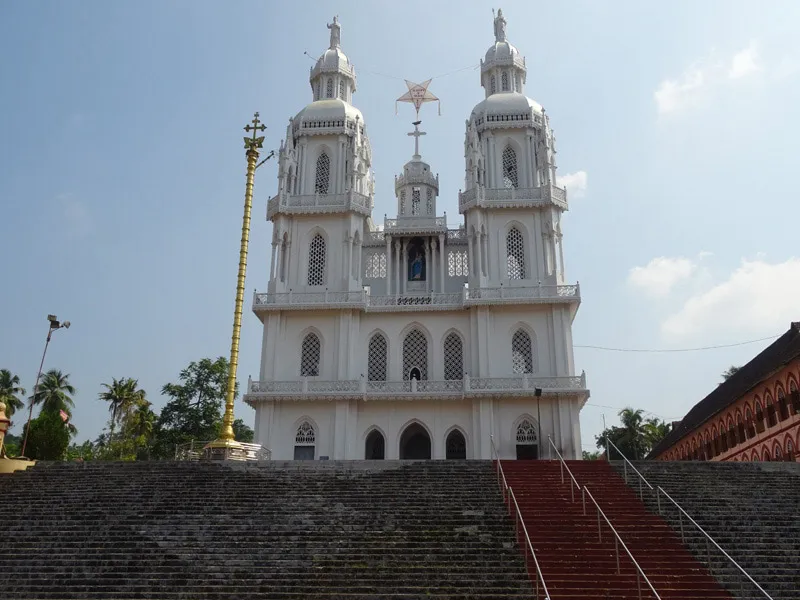
St. Mary’s Forane Church, Kuravilangad
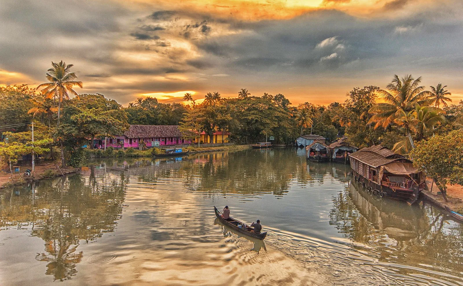
Kumarakom
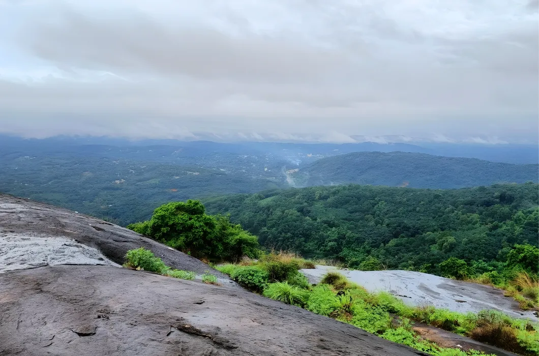
Ayyampara Hills
These destinations are in close proximity to Illikkal Kallu (Kottayam) and can be visited on the same trip.
Related Destinations
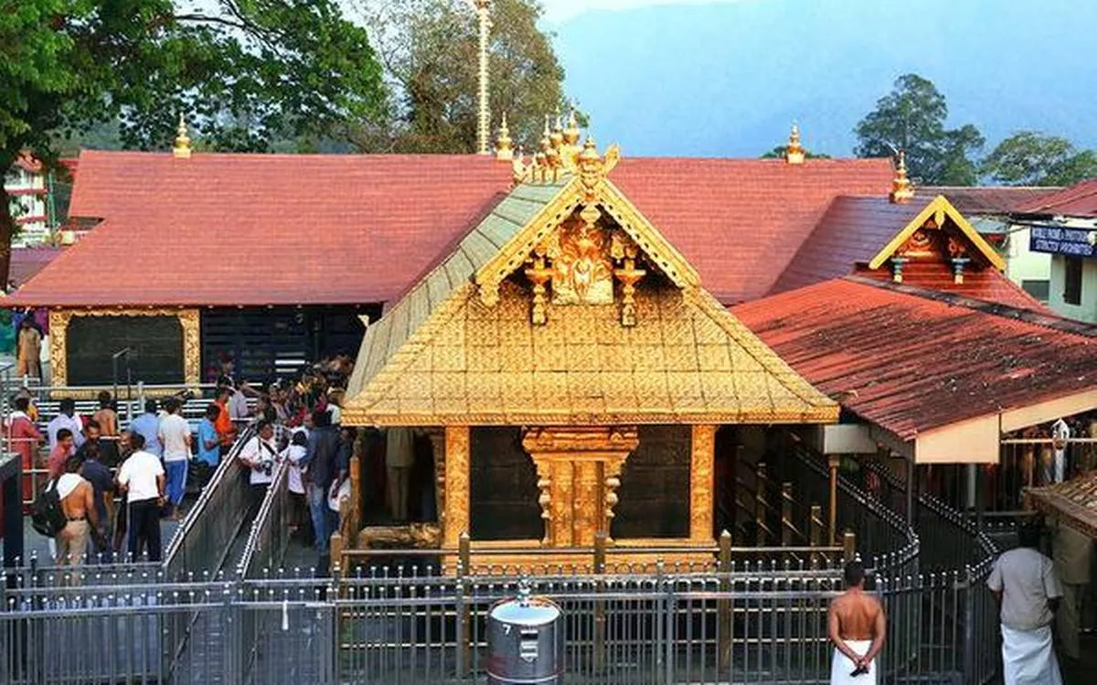
Sabarimala Temple
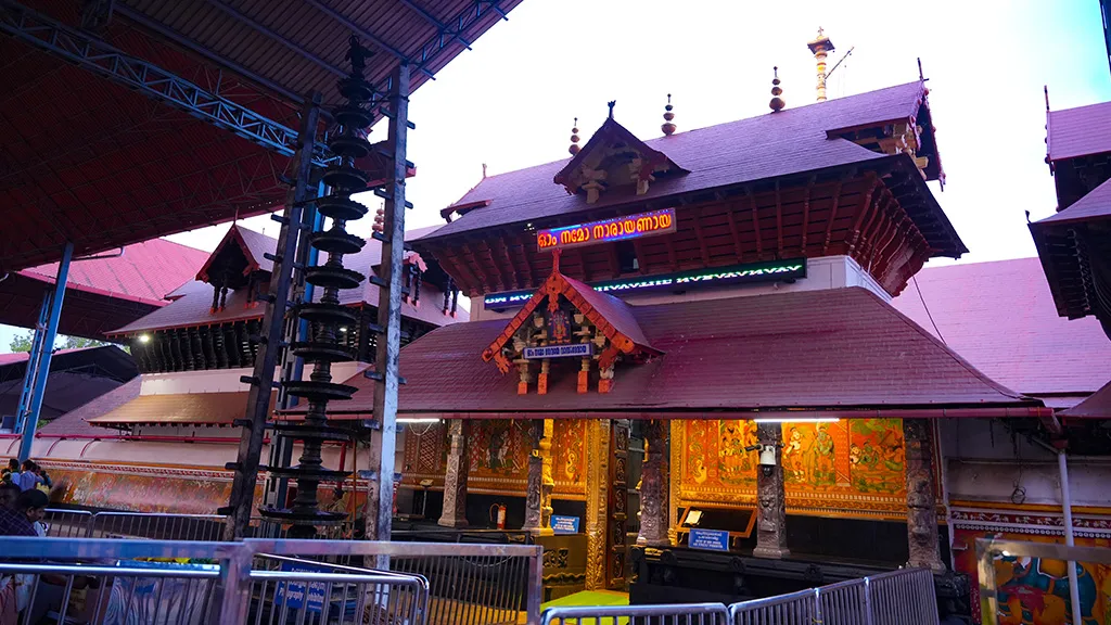
Guruvayur Temple
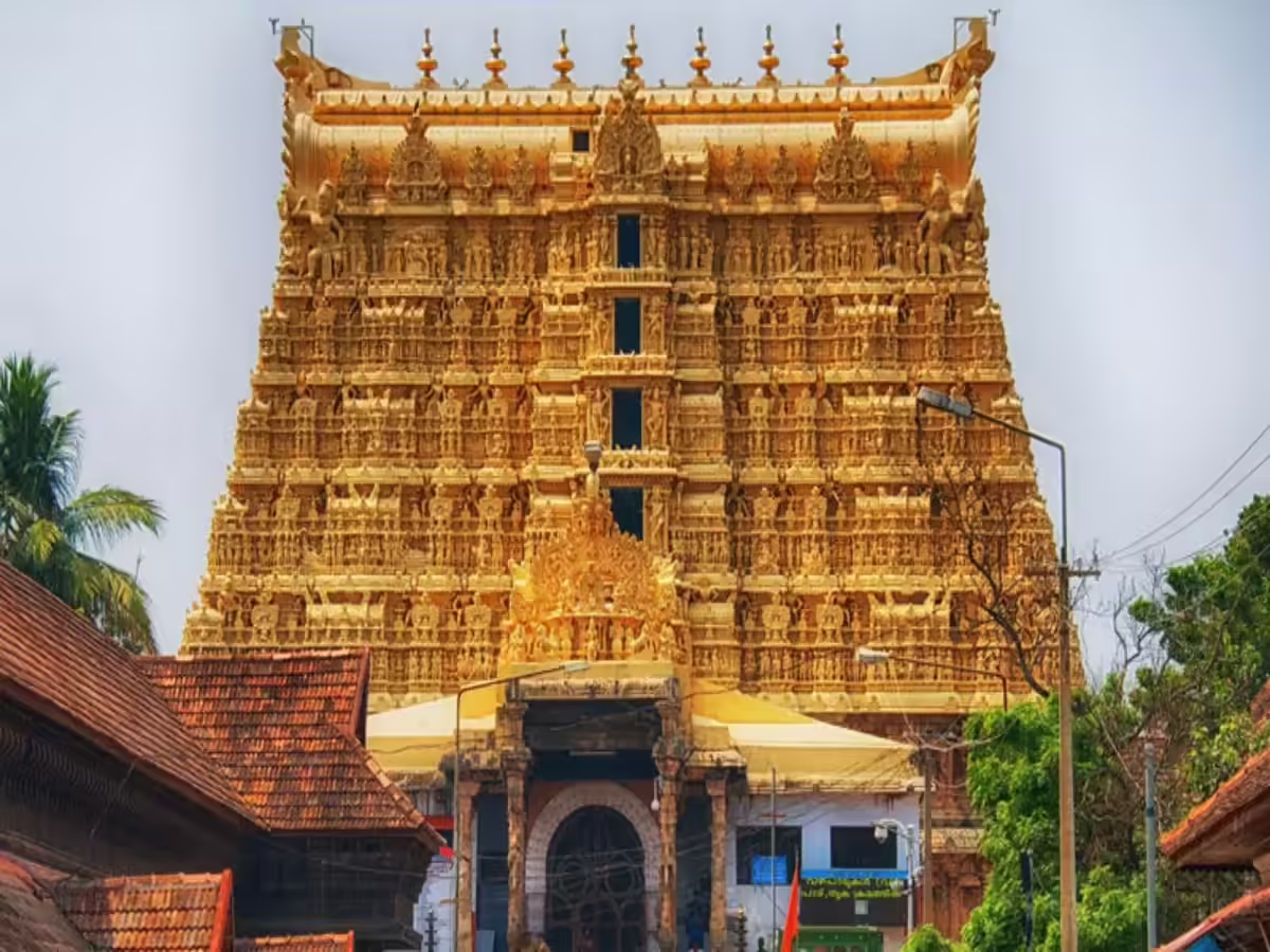
Padmanabhaswamy Temple
Ettumanoor Mahadeva Temple
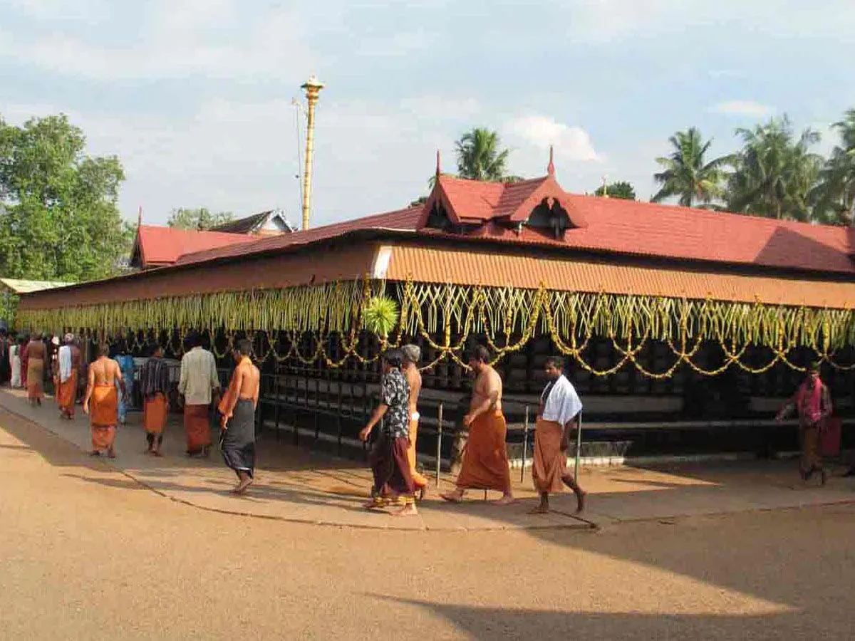
Chottanikkara Temple
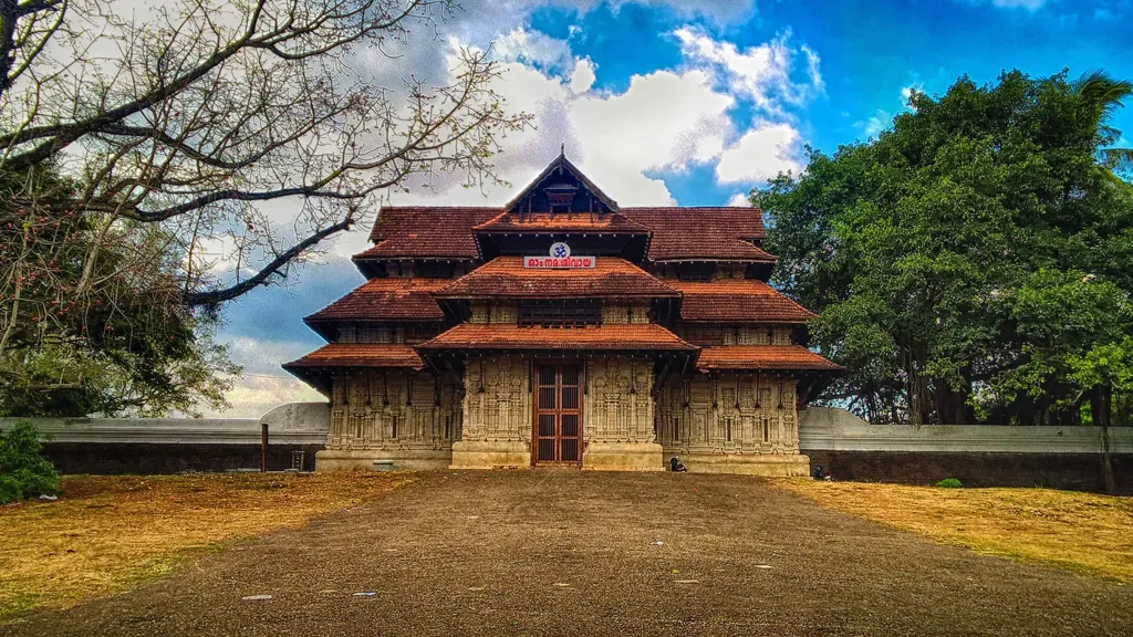
Vadakkunnathan Temple Thrissur
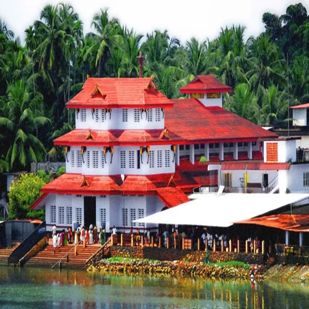
Parassinikadavu Muthappan Temple
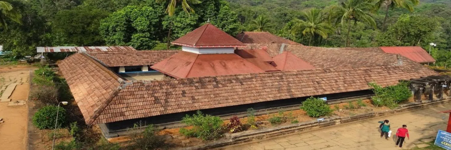
Thirunelli Temple Wayanad
Visit Information
Opening Hours
Entry Fee
Best Time to Visit
September to February
Location
Kottayam District, Kerala, India
Contact
For inquiries: 0481-2567789
Share this destination:
 Translate